
Mapping Our Water
GIS Committee Maps for Angeles Chapter Water Committee
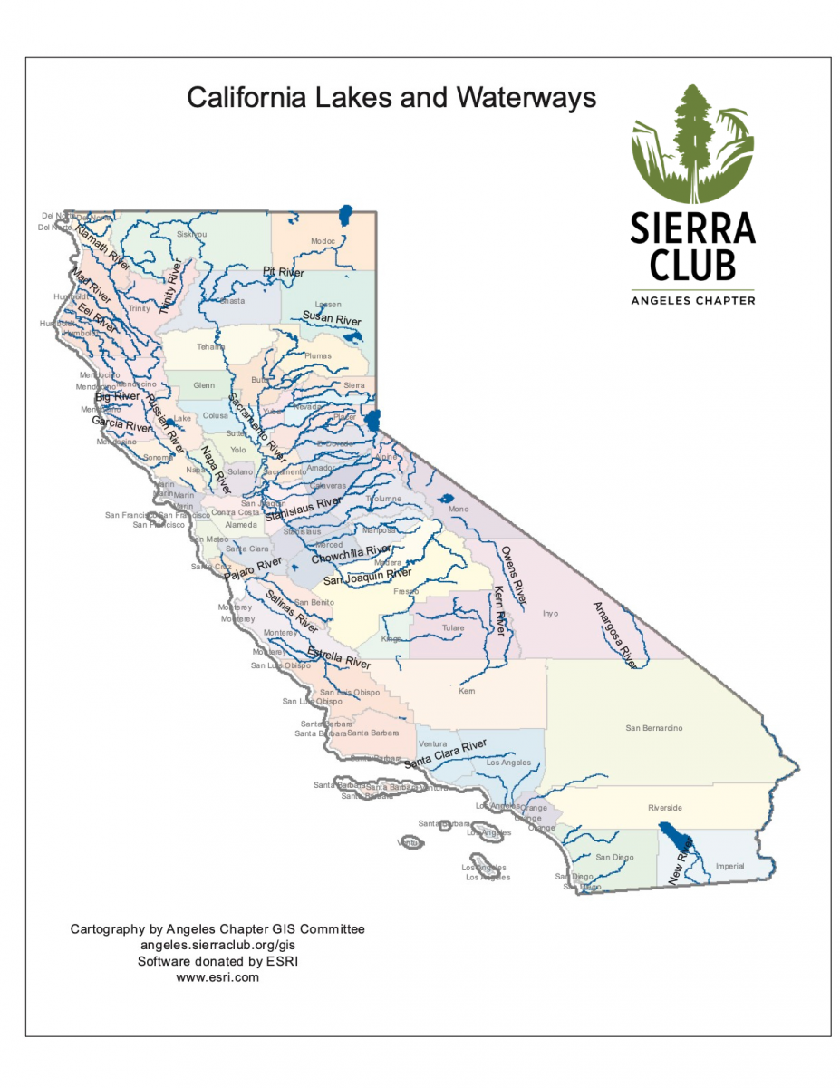
The GIS and Water Committee first partnered up many years ago on the Water Conservation Measures Scorecard project, then on a map of California Lakes and WaterWays. Recently several maps were created by the Angeles Chapter’s GIS Committee for the Angeles Chapter’s Water Campaign. The Angeles Chapter’s Water Committee requested that GIS Committee produce a series of ESRI online web app maps—which are currently posted to its webpage.
A set of interactive web app maps show the location of historic villages of the Tongva/Gabrielino-Fernandeno in the Los Angeles Basin and Orange County, as well as indigenous villages of California’s Central Valley, in relation to historic waterways. However, as a subtext, we reflect on the appreciation and respect for the natural world held by our indigenous peoples, on the one hand, and how modernization generally stripped such appreciation and respect away from the decision-making processes—at least until more recent times.
In conjunction with Sierra Club California’s Water Committee and the Angeles Chapter Water Committee, using software and applications provided under an ESRI Conservation Program grant, small and large-scale interactive web maps of the proposed Sacramento Delta Single Tunnel Project were also produced. (ESRI is an international GIS software supplier with a strong background in provision of its software for the purposes of conservation, sustainability and environmental/social equity, and similarly beneficial uses, through software and educational grant programs, and simply by purposeful design.)
Villages of the Tongva/Gabrielino-Fernandeno of the Los Angeles Basin
Villages of the Tongva/Gabrielino-Fernandeno of Orange County
One set of ArcGIS maps was prepared for Sierra Club California’s public presentation PowerPoint titled The California Delta: An Endangered Resource Protecting California’s Irreplaceable Estuary, and to create a geographic frame of reference for community discussion. The maps were used to underscore the immediate threat to the Sacramento – San Joaquin River Delta by what is termed “The Single Tunnel Project aka Delta Conveyance.”
A Small Scale Web Map App of the proposed Sacramento Delta Single Tunnel Project
A Large Scale Web Map App of the Single Sacramento Delta Tunnel Plan
As Sierra Club California describes, “[t]he Delta Conveyance project is the Newsom administration’s proposed construction and operation of a single underground tunnel that would divert millions of acre-feet of freshwater that would otherwise flow naturally through the Bay-Delta, and [to] sell most of that water to wealthy farming corporations south of the Delta.” [DWR Tunnel Scoping Meetings]
A common theme among the two mapping topics is the relationship of people to water.
Geographic Information System (“GIS”) mapping technologies provide critical tools for the analysis of data and imagery to support grassroots activism, and provide opportunity to help effect local, regional, national, and global change.
Please visit our website, and, in addition, we ask that each of you with an interest in mapping for a better world explore the concepts of GeoDesign and learn to use ArcGIS Online—which is an excellent mapping tool and available to indviduals through ESRI’s no-cost provision.
Angeles Chapter’s GIS Committee supports all Chapter entities’ requests for mapping projects and welcomes GIS volunteers with mapping abilities
Contact us here for your GIS needs.
Lore Pekrul is the Chair of the GIS Committee
Chuck Gooley is a member of the GIS and Water Committees
ArcGIS Online is a powerful grassroots mapping tool. If you have good computer skills and interest in data, satellite imagery and mapping to support a better world - get started by learning the basics of web mapping here
Blog Category:
Add new comment