How to Use GIS for Grassroots Activities
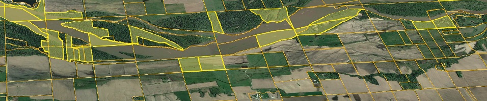
GIS can be a powerful tool for grassroots activities, enabling individuals and communities to address local issues and drive positive change. To effectively use GIS for grassroots activities, it is important to start by identifying the specific goals and objectives of the project. This could involve mapping community assets, identifying areas of need, or visualizing the impact of proposed initiatives. Once the goals are defined, the next step is to gather relevant data. This can include collecting field data through surveys or utilizing existing datasets from government agencies or open data sources. The collected data can then be inputted into a GIS software, such as ArcGIS or QGIS, where it can be organized, analyzed, and visualized. GIS tools can help identify patterns, trends, and spatial relationships within the data, providing valuable insights for decision-making. Additionally, GIS can be used to create interactive maps and visualizations that can be shared with community members, stakeholders, and policymakers to raise awareness and advocate for change. By harnessing the power of GIS, grassroots organizations can effectively communicate their message, engage the community, and drive meaningful action towards their goals.