Nordic skiing is the best way to travel over snow.
You don't have to:
- carry your snowboard up long slopes. Nordic skis allow you to ski uphill.
- slog on snowshoes across snowy meadows. Nordic skis allow you to slide across the flats.
Come enjoy the freedom of the wintry mountains with us. Membership: Open to Sierra Club members who subscribe to Snowflake newsletter by sending US Postal Service mailing address (snail-mail), Sierra Club number and $7 check (payable Sierra Club) to Membership Chair, Todd Yuen.
To have a free Snowflake issue sent by mail to you, E-mail your name and USPS mailing address to the X-Country Nordic Ski Touring Section at xcnsts@aol.com.
The cross-country skill classifications are:
- Beginner—has no cross-country skiing experience;
- Novice—has taken lessons;
- Intermediate—is able to ski cross-country in gentle terrain on tours exceeding 5 mi;
- Experienced—a good skier able to traverse rough mountainous terrain on tours exceeding 10 mi.
Meetings
We don't currently have general meetings. We do have management committee meetings. You are welcome and encouraged to attend.
If you are interested, please contact one of our management committee members for the next management committee meeting.
Leaders
Do you enjoy people and have a passion for backcountry skiing? The Nordic Ski Touring Section is looking for ski leaders. If you are interested, please contact our Outings Chair: Christine Gutierrez for info on becoming a ski leader and suggestions for possible trips.
| Christine Gutierrez | 23251 Caroldale Av, Carson, 90745-4611 | christinegutierrez |
|
|
|
|||
| To fight spam, you have to type in the email address instead of an automatic link or copy and paste. | |||
|
|
|||
| Don Holtz & Joan-Jones Holtz | 11826 The Wye, El Monte, 91732-1450 | (818) 443-0706 | DHoltz1887 |
|
|
|||
| Elaine Iwamoto | 1380 Ridgecrest Street, Monterey Park, CA 91754 | (323)262-6639 | xcpoodlehead |
|
|
|||
| Ken Kerner | 16743 Highfalls St., Canyon Country, 91387-3268 | (661)251-5156 | no email :-( |
|
|
|||
| Adam Kliszewski | 7812 Beland Av., LA, 90045-1131 | (310) 641-3885 | Adamklis |
|
|
|||
| Laura Lathrope-Warriner | 29652 Mammoth Lane, Canyon Country 91351 | (661)250-1519 | laura_lathrop_2000 |
|
|
|||
|
|
|||
| Susan McDonough | (310) 829-0804 | mcdas |
|
|
|
|||
| Kathy Scott | (310)456-8233 | kskd |
|
|
|
|||
| Todd Yuen | 10635 Lynn Circle, Cypress, 90630-4929 | (714)220-2599 | xcyuen2006 |
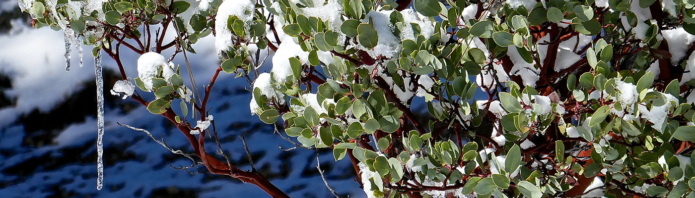
[Header photo: Manzanita, Snow drive on the Angeles Crest Highway , © by Bob Cates , all rights reserved]