Please be sure to contact local and national forest agencies for current closures, if any.
The Lower Peaks Committee is an entity of the Angeles Chapter of the Sierra Club.
Our Purpose...
To explore and enjoy the mountains around us and to encourage protection and preservation of Lower Elevation Ranges in Southern California
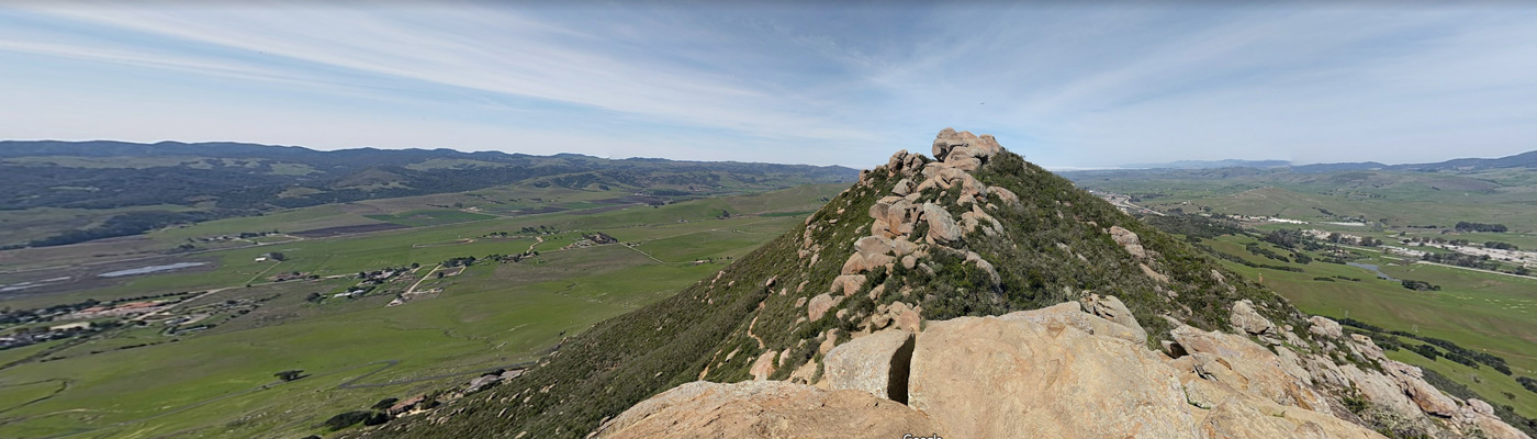
The group is devoted to hiking Southern California mountain peaks below 5000' in elevation. Our list currently includes 86 summits. Many of the mountain peaks above 5000' in elevation are climbed by the Hundred Peaks Section. The Lower Peaks Committee encompasses summits below 5,000' in elevation of interest to Southern California hiking enthusiasts. We select only those peaks that are of climbing, historical or geological interest and those which present us with special panoramic views.
Angeles National Forest: https://www.fs.usda.gov/angeles
Los Padres National Forest: https://www.fs.usda.gov/lpnf/
San Bernardino National Forest: https://www.fs.usda.gov/sbnf/
Cleveland National Forest: https://www.fs.usda.gov/cleveland/
Joshua Tree National Park: https://www.nps.gov/jotr/index.htm